Region: Tennessee
Landmark: Great Smoky Mountain Rainbow Falls Mount Le Conte
Distance (mile): 13.60
Elevation (feet): 4,745
Difficulty: Very Difficult
Activities: Auto Touring Camping Hiking Photography Visitor Center Wildlife Viewing
Features: Cliff Falls Forest Mountain
Date: 12/28/2011
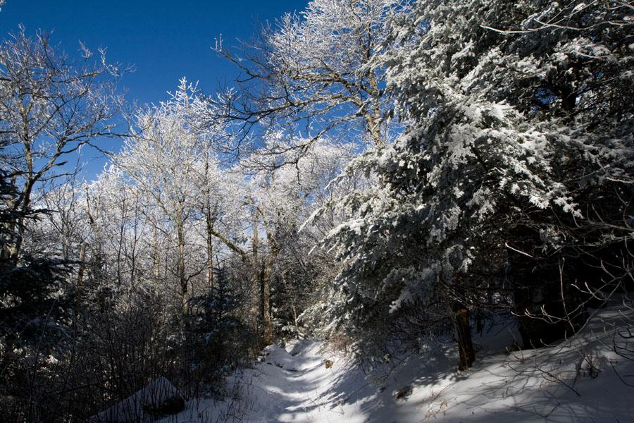
Hike to Rainbow Falls
The one way to Rainbow falls is 2.7 miles. The first mile of this popular but strenuous trail follows LeConte Creek, later passing through an area full of rosebay rhododendron, teaberry, and mountain pepper-bush grow. Pink lady's slippers have also been found here. A log foot bridge crosses the creek about 2 miles from the trailhead, and and the trail then crosses a tributary of LeConte Creek without the help of a bridge. After another two bridges, the falls appear, named for the rainbows seen in the mist that are caused by the afternoon sun. The 80 foot fall occasionally freezes into an hourglass shape in the winter.
LeConte Lodge
LeConte Lodge is accessible only by foot. The lodge sits atop Mount Le Conte, the park's third highest peak, at an elevation of 6,593 feet. Hiking routes to the lodge vary in length from 5 to 8 miles. The lodge is generally open from mid-March through mid-November. Advance reservations are required to stay at the lodge.
The Top 10 Peaks (elevation in feet) in the Great Smoky Mountain
- Clingmans Dome - 6,643
- Mount Guyot - 6,621
- Mount Le Conte (High Top) - 6,593
- Mount Buckley - 6,580
- Mount Love - 6,420
- Mount Chapman - 6,417
- Old Black - 6,370
- Luftee Knob - 6,234
- Mount Kephart - 6,217
- Mount Collins - 6,118